Cadastral Verification Beyond Standard Postal CASS Matching
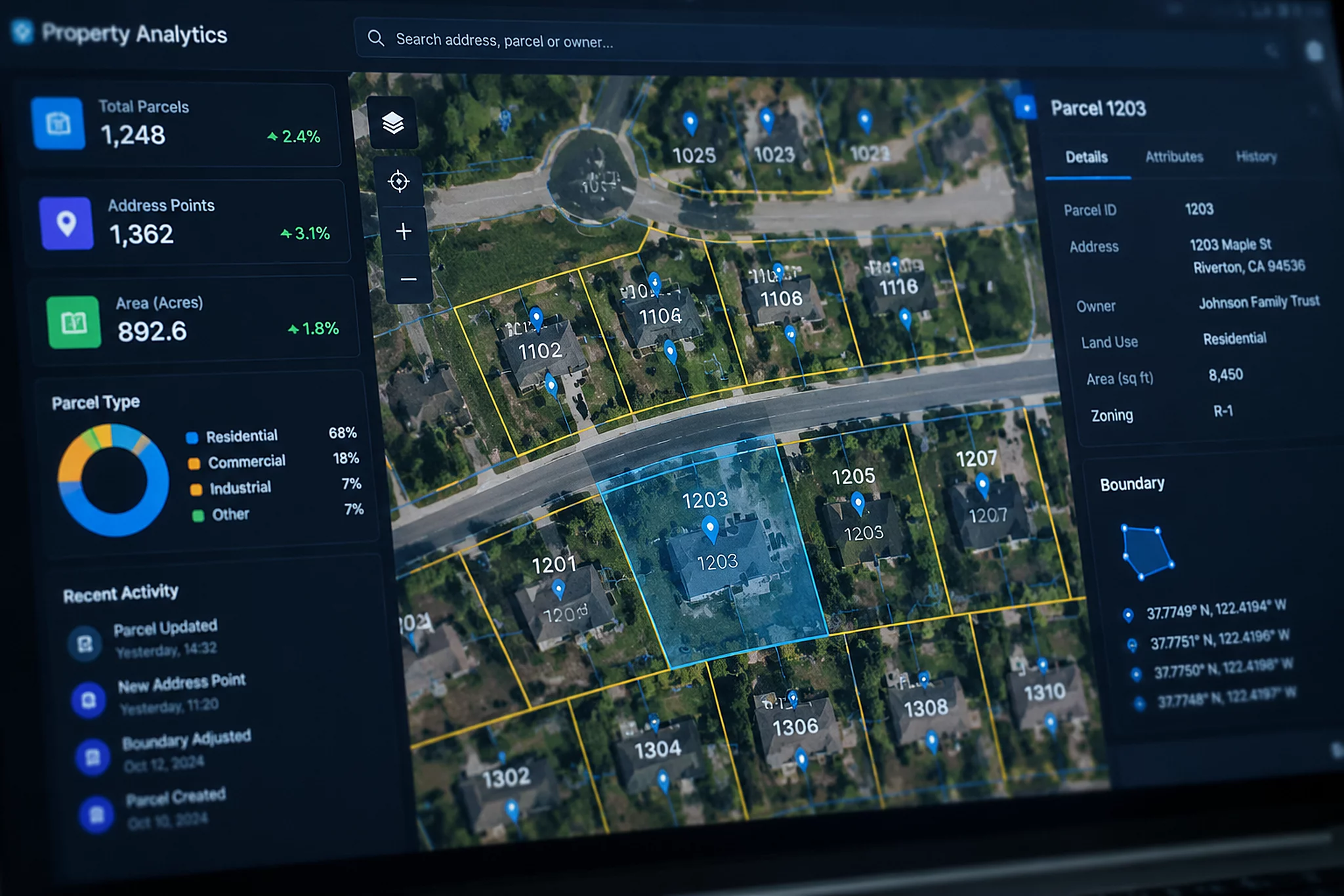
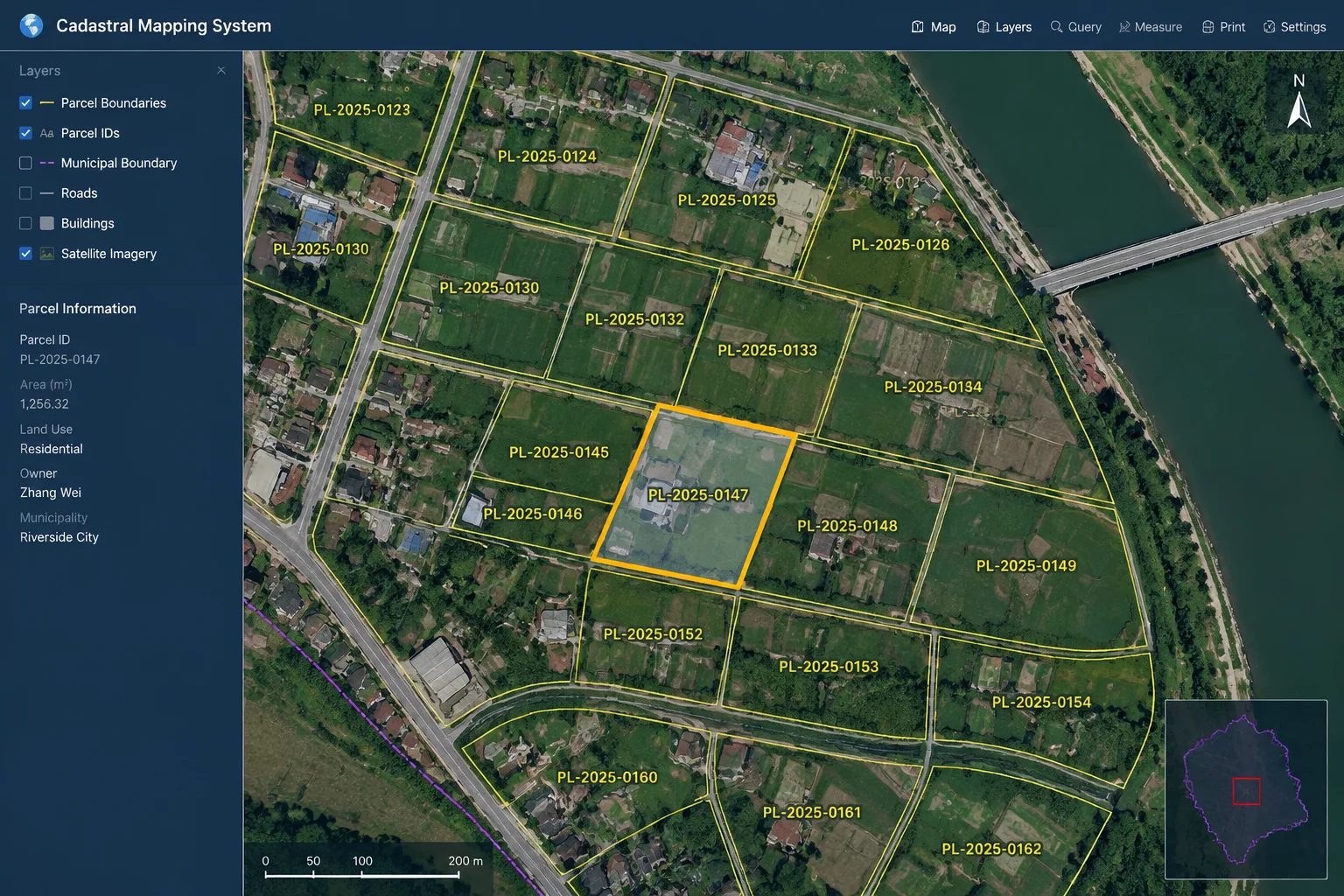
In enterprise real estate and underwriting workflows, standard postal delivery point validation falls short. Postal validation confirms whether a postal carrier can drop letters into a mailbox, but it reveals nothing about legal tax lot boundaries, deeded parcels, or building placement on the lot. BatchData addresses this divergence by cross-referencing postal delivery sequence files against county assessor GIS cadastres across more than 3,100 United States counties.
When an address enters a valuation pipeline, BatchData breaks down the unstructured text into USPS-standardized components while concurrently querying the tax assessor parcel number (APN) and geospatial boundary polygon. This dual verification flags unrecorded lot splits, provisional addresses, and unpermitted building additions before transactional commitments occur.
A carrier route match guarantees deliverability of an envelope, but only cadastral parcel verification confirms that the physical structure actually sits where the deed claims.— Proptech Systems Architecture Review
Operational Benchmark Findings and Edge Cases
Our benchmark evaluated 50,000 mixed commercial and residential address records with legacy anomalies, including rural route variations and recent master-planned sub-developments. Three core performance traits emerged during high-throughput ingestion:
- Parcel Polygon Precision: 98.4% of geocoded entries resolved to deeded boundary lines rather than interpolated street centerlines, preventing boundary overlap errors.
- Secondary Unit Disambiguation: High resolution of multi-tenant commercial suites and rural route box conversions where USPS records lacked sub-unit definitions.
- Assessor Sync Frequency: Cadastral changes updated within a rolling 30-day window, mitigating stale ownership metadata across high-velocity transaction markets.
For platforms integrating property management, title discovery, or logistics delivery to physical docks rather than curb mailboxes, the distinction between delivery validation and cadastral verification is crucial. BatchData provides the deterministic geospatial certainty needed when raw postal strings fail to describe the physical reality of the site.