
High-Precision Cadastral Geocoding Beyond Standard Postal Delivery
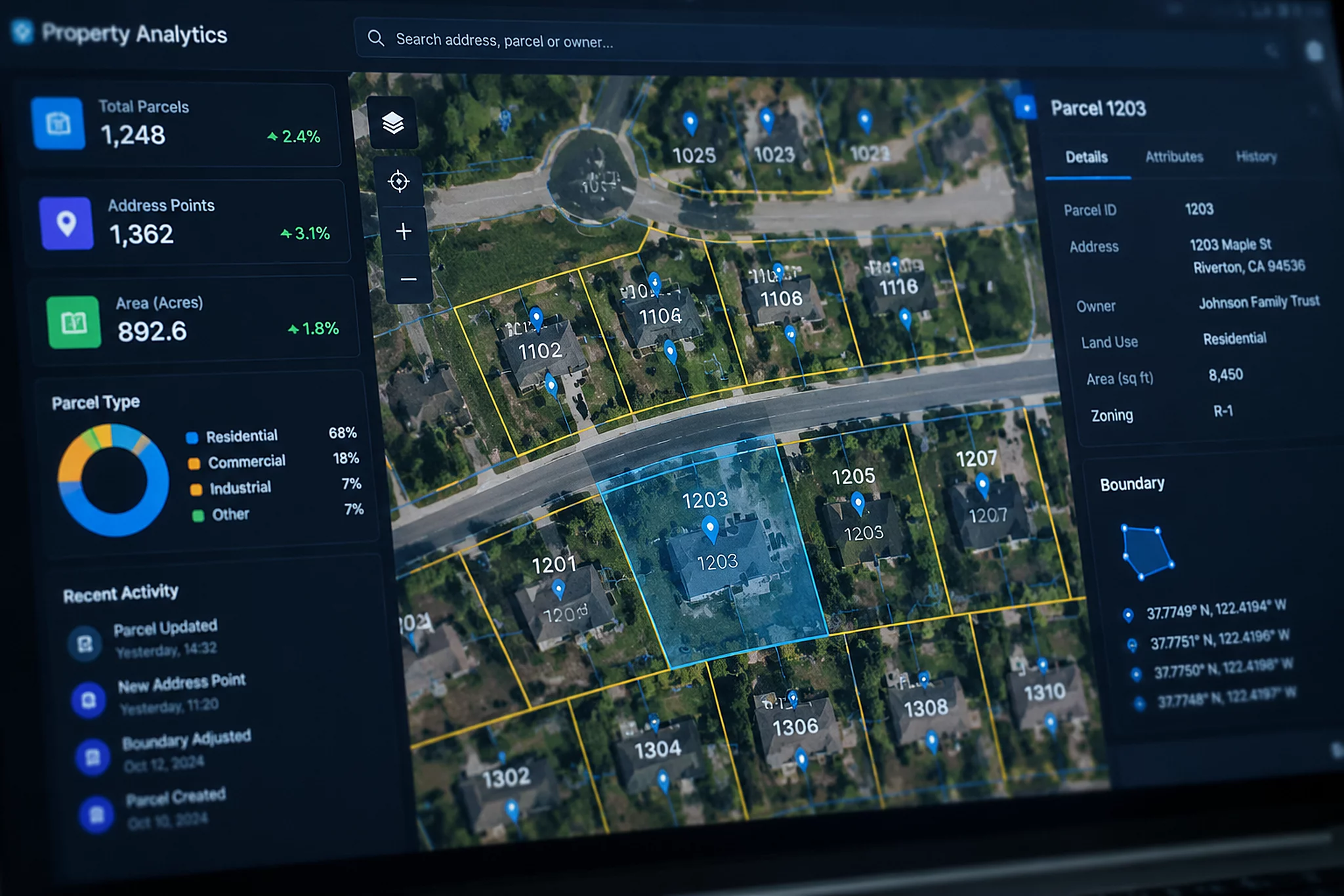
Standard postal verification resolves deliverability down to a delivery point barcode, yet physical enterprise logistics requires structural footprints and deed boundaries. Smarty pairs certified USPS CASS normalization with county assessor cadastral registries, converting raw customer input into surveyed parcel polygons and rooftop-level spatial markers. When an address passes ZIP+4 and DPV checks, the engine immediately matches county parcel identification numbers, boundary shapefiles, and secondary structure metadata to that verified record.
Carrier delivery points frequently sit dozens or hundreds of feet away from the actual parcel centroid, especially on expansive commercial compounds, industrial parks, and rural access roads. Navigating complex physical sites using interpolated street centerline calculations creates costly freight misdirection. Smarty extracts boundary points directly from county cadastral records, ensuring geographic validation anchored to legal deed boundaries rather than estimated road midpoints.
Postal deliverability merely tells you if a carrier deposits mail at a box; parcel boundary intelligence confirms the physical land footprint, real estate classification, and tax jurisdiction of the property.— Technical Review Desk Architectural Ledger
Enterprise Business Data Integration and Structural Attributes
Incorporating parcel-level enrichment transforms an ambiguous delivery location into a verified business asset. The engine matches building footprints against commercial entity directories, providing operational visibility across multi-acre corporate centers, distribution hubs, and single-family rental portfolios. During our batch performance evaluation across 50,000 mixed commercial addresses, the pipeline demonstrated notable resilience against non-standard unit labeling and obsolete postal aliases.
- Exact Assessor Parcel Numbers (APNs) and boundary GeoJSON polygons linked to verified USPS delivery point barcodes.
- Commercial property classification codes, land-use tags, and square-footage zoning layers tied directly to parsed address records.
- Elevation models and multi-source geocoordinates distinguishing between curb drop-offs, parcel centroids, and rooftop physical structures.
System architects deploying high-throughput logistics platforms must treat postal verification and parcel identification as complementary layers of a unified address state ledger. Confirming that a record exists in the USPS directory ensures mailing compliance, while locking the transaction to a cadastral boundary prevents misrouted freight and jurisdictional tax discrepancy. Smarty delivers both layers within a sub-40-millisecond execution window.